Rooflights and skylights in Warboys

Warboys runs from a thatched inn on a wide market High Street to a fen edge where the ground drops to almost sea level. We plan every rooflight and skylight from the eye position that matters, and check the conservation position for your address.

From Peterborough
About 20 miles by road
Planning
Huntingdonshire District Council
County
Cambridgeshire

Old brick and thatch narrowing Warboys' open sky

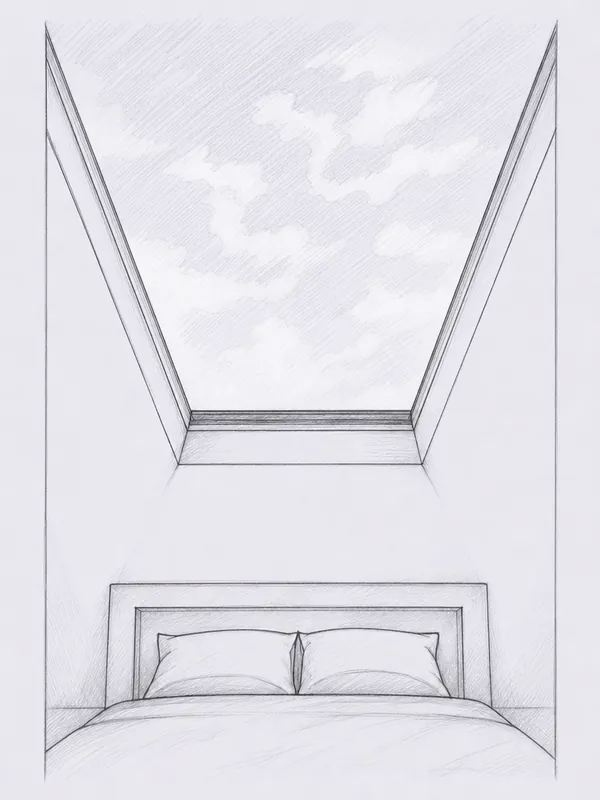
  • A frame edge across the Clock Tower roofline

    The 1887 Clock Tower and the brick fronts near it sit close at the High Street junction, so a wide frame set low in a nearby roof can cut the sky short.

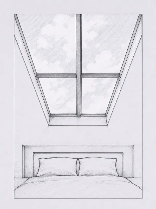
  • A bar across an Old Manor House attic

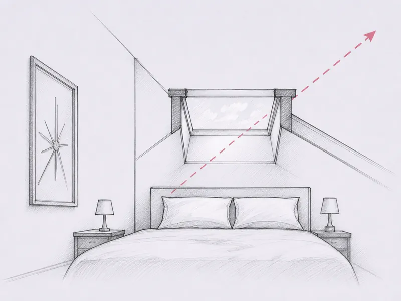
    The Old Manor House's early 17th-century gables shape a narrow attic room, and a centred glazing bar in a rooflight there can split the little sky the room allows in half.

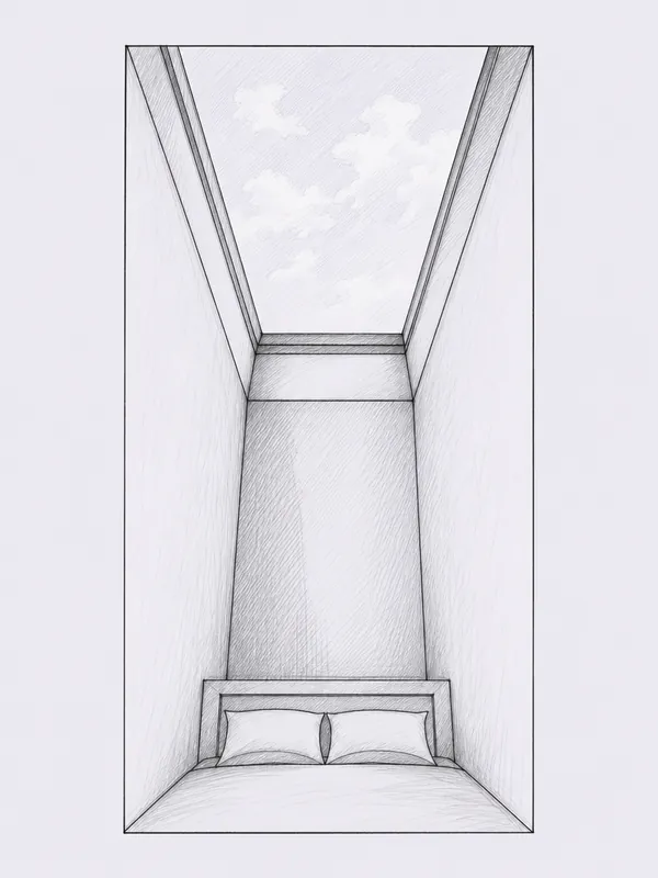
  • A deep reveal through the Old Manor's brick

    Solid brick raised without a cavity in the early 1600s, like the Old Manor House walls, turns a plain opening into a deep shaft that narrows the sky to a sliver.

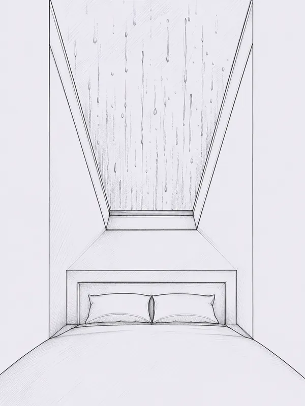
  • Glass that mists on the fen-facing side

    Warboys' north-east side runs down toward the flat, drained fen where RAF Warboys once flew from level ground, and damp air off that land finds a tired edge seal fast.

Warboys looks down from high ground to flat fen

Warboys sits on higher ground in the south-west of a large parish, looking north-east over fen ground that drops from around 114 feet to near sea level. Enclosure drained that land in the 18th century, and RAF Warboys later flew bombers from its flat fields. A roof facing that side meets an almost level horizon, with little to interrupt a rooflight aimed toward it; a roof facing the older core instead frames brick fronts, the Clock Tower or the church spire close by.

  • Flat fen sky beyond the old airfield

  • Open sky past the Clock Tower's roofline

  • High ground looking down over drained fen

The White Hart's thatch behind a wide, dense High Street

Warboys is a large village on the eastern side of Huntingdonshire, about 7 miles north-east of Huntingdon, and its High Street still reads as a small market town rather than a suburb: wide, lined with houses and shops, and dense at its centre in a way the roads leading off it are not.

The High Street's best-known building is the White Hart Inn, a 17th-century brick building carrying a thatched roof. It suffered a roof fire in 1996 and reopened in 1997 after reconstruction, so what sits over the bar today is a rebuilt thatch rather than the original 17th-century covering, on a wall that is genuinely that old. Warboys has a designated conservation area, with a Character Statement adopted by Huntingdonshire District Council in September 2006, and it covers the historic buildings along the High Street, Church Road and Street, and Ramsey Road. The statement itself draws a contrast between the densely developed frontage on the High Street and the looser, more spaced-out development running along Ramsey Road and Church Road, which is a useful way to picture the village: tight brick fronts at its centre, opening out toward its edges.

None of that changes the physics above a bedroom or a landing, but it does change what a survey has to check first. A house within the conservation area boundary, or close to a listed building, can bring extra permissions into the design before any glass goes in; a house a short walk further out, on the looser plots along Ramsey Road, more often does not. We check that position for the exact address before recommending a standard roof window or a conservation rooflight, rather than assuming from the street name.
Around the Clock Tower: an 1887 landmark and its brick neighbours

The village's centre is marked by more than its street pattern. The Warboys Clock Tower stands at the junction of Church Road and the High Street, built in 1887 to mark Queen Victoria's Golden Jubilee and listed Grade II. Close by sit the Baptist Church and the Weir, both named in the conservation area statement as landmarks that give the centre its character alongside the tower itself.

A junction like that, with a listed tower on one corner and older brick fronts around it, is exactly the kind of position where the view from an upstairs room depends entirely on which way the roof faces and how far the neighbouring roofline runs. From a bedroom looking toward Church Road, a frame set too low or too far from the ridge can catch the tower's roofline rather than clear sky above it; from a room facing the other way, toward the looser plots off Ramsey Road, there is usually more open sky to aim for. A frame profile chosen for the sightline, not just the opening size, is what decides which of those two views you actually get from where you lie.

The tower's own listing does not extend to every house nearby, and a building being close to a Grade II structure is not the same as a house being listed itself. That is another detail worth checking address by address rather than assuming because a job sits a few doors from the clock tower.

Solid brick walls at the Old Manor House and the village's oldest homes

Set back from the street stands the Old Manor House, an early 17th-century two-storey brick house with attics, its rounded and shaped gables still visible on the roofline. A house of that age and build, with an attic tucked under a gabled roof, is the shape of house where a reveal question comes up before a frame ever gets ordered: brick walls raised in the early 1600s were built solid, without a cavity, and a solid wall of real thickness turns a straightforward hole in the roof into a much deeper shaft down to the ceiling below.

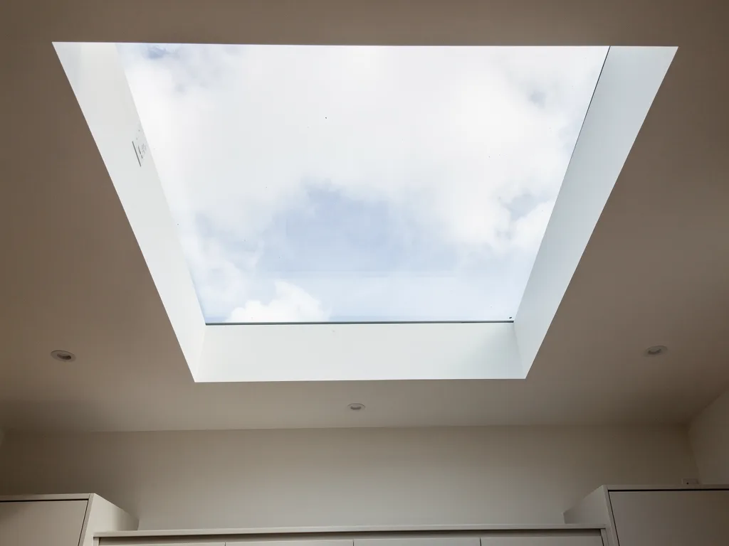
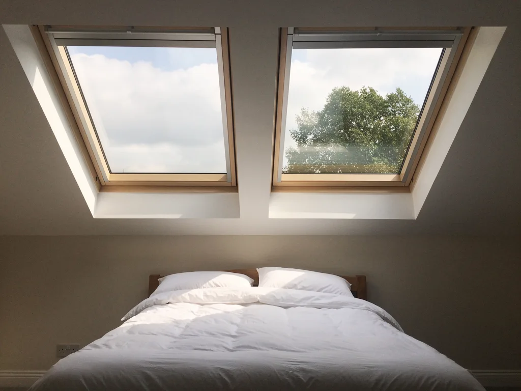
Cut a standard rooflight through a wall like that without adjusting for the depth, and the reveal itself starts to take a bite out of the sky you actually see. A splayed reveal, opened out at an angle rather than left square, recovers some of that sky by letting more of it reach your eye from a fixed spot on a pillow or a chair. Choosing the reveal shape for a wall this old is as much a part of the design as choosing the unit itself, and it is not a decision that can be made from a floor plan alone.

  • An attic room under a gabled roof, where the rafters and the wall depth both need checking on site before a roof window is sized.
  • A single-storey rear addition behind an older brick house, where a flat roof rooflight is often the simpler route to sky than cutting into the old pitched roof itself.
  • A landing or stairwell lit from above, where the reveal depth through a thick old wall changes how much of the sky actually reaches the floor below.

A roofline raised three times: St Mary Magdalene and the centre around it

The parish church, St Mary Magdalene, shows its own roof history on its skyline. Its chancel arch dates from the Norman period, in the 12th century; its tower and broach spire, built in ashlar, date from the 13th century; and its nave clerestory was added later still, in the 15th century, at the point when the roof itself was heightened. The earliest evidence of a church on the site goes back to the mid-12th century, when it and its holdings were granted to the almonry of Ramsey Abbey.

A building altered three times across three centuries, each time changing the roof rather than replacing the walls beneath it, is not unusual for the older brick houses that share the historic core with it. The Old Manor House and the buildings named in the conservation area statement were not all built, or reroofed, in the same decade, and a rafter pattern that looks regular from the street can turn out to be anything but regular once a roof is actually opened. That is why a survey on an older Warboys house checks the roof structure in front of the surveyor rather than reading it off the age of the brick.

The church's spire and the clock tower between them still do most of the work of breaking the village's low skyline, which matters less for planning permission than it does for simple sightlines: a rooflight aimed toward either landmark from a room nearby will frame it as part of the view, for better or worse, so it is worth deciding on purpose rather than by accident.

From 114 feet to two: the village sitting on the fen edge

Warboys parish is large, covering roughly 8,435.5 acres on the eastern side of Huntingdonshire, bordering Cambridgeshire. The village itself sits on higher ground in the south-west of the parish, overlooking the fen to the north-east, and the ground genuinely falls as you move that way: from around 114 feet above sea level in the south down to about 2 feet in the fen areas.

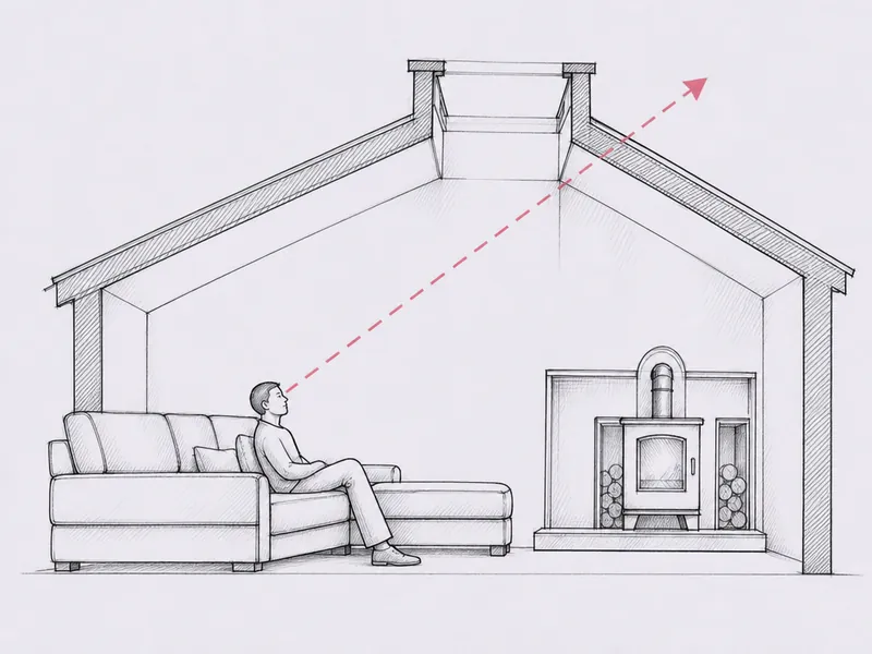
That is not a small change. A house on the higher ground in the south-west of the village looks out toward the fen from a genuine vantage point, with roofs and hedgerows below the eye rather than level with it; a house closer to the fen edge itself sits within a horizon that runs almost flat in every direction. Both give a rooflight a good route to open sky, but for different reasons, and the direction a roof faces matters more here than it would on level ground everywhere. A sightline sketch, drawn from the actual bed, sofa or sink in the room, is how we settle which way that route runs before any tile comes off.

Position in the parishGround levelWhat it gives a rooflight
South-west, on higher groundAround 114 feetA vantage point looking down over the fen; roofline below eye level to the north-east
North-east, toward the fenDown to around 2 feetA near-flat horizon in most directions; open sky with little to interrupt it

Enclosure, drained fen and the flat land where bombers once flew

The fen beyond Warboys was not always farmed the way it is today. Enclosure Acts of Parliament passed in 1774, 1795 and 1798 changed the drainage and land use around the village, affecting some 300 acres of High Fen among the land they covered. Ground that was once wet and unenclosed became the flat, cultivated fields that now run out from the village toward the horizon.

That same flat land was put to a very different use in wartime: RAF Warboys operated as a bomber airfield from 1942 to 1945. An airfield needs long, level, unobstructed ground, and the fact that Warboys was chosen for one is itself a sign of how flat and open the land to the north-east of the village has long been. For a rooflight aimed that way today, from a bedroom or kitchen on the fen-facing side of the village, there is very often nothing between the roofline and a genuinely open sky, no hill, no taller neighbour, just the flat fen running out toward the horizon.

A village that has more than doubled since the 1970s

The 2021 census recorded a population of 4,323 for Warboys, up from 3,994 recorded in 2011 and 1,923 recorded in 1971. That is more than a doubling of the village within living memory, and it means a good share of the housing here was built to serve that growth rather than standing since the village's market-town centre took shape.

Newer housing of that kind is usually built to a standard, trussed roof pitch, with wall thicknesses that match the drawings rather than three centuries of alteration behind a brick front. A loft conversion or a rear extension on a house like that tends to be the more straightforward end of the job: the rafters sit where the plans say they will, and a roof window or a flat roof rooflight can usually be sized from the room below with fewer surprises once the roof is opened. That does not make the view any less worth planning properly. A standard trussed roof still decides how much sky a room actually gets, and where the frame and any bar fall in the eyeline from a bed or a sofa matters as much on a 1980s estate as it does behind the White Hart's thatch.

Whichever part of Warboys a job sits in, older core or newer estate, the same underlying commitments apply: we install to current Building Regulations, we handle the Building Control notification ourselves where the work is notifiable, and every quote comes with a sightline sketch and a 10-year workmanship guarantee.

Thatch, tower and fen edge: your Warboys questions

Is my house inside the Warboys conservation area?

It depends on where it sits. The conservation area covers historic buildings along the High Street, Church Road and Street, and Ramsey Road, adopted by Huntingdonshire District Council in September 2006, but development away from that historic core is not included. We check the boundary for your specific address before suggesting a standard unit or a conservation profile.

Does a thatched roof like the White Hart's rule out a rooflight nearby?

A thatched roof itself is not typically where a rooflight goes; it is more often the surrounding brick roofs, rear additions and reroofed sections of an older building that carry the glazing. What matters for those roofs is the age and thickness of the wall beneath them, which we check on site rather than assume from the front elevation.

Is a house near the fen edge harder to fit than one on higher ground?

Not harder, but different. A house toward the north-east, closer to the fen, generally has a flatter, more open horizon in every direction; a house on the higher ground in the south-west looks down over the fen from more of a vantage point. Both can give a good view of the sky, but the direction a roof faces matters more to the result than it would on level ground everywhere.

Do newer estate homes need less planning around them than the older core?

Generally yes, in terms of extra permissions: housing built since the 1970s sits outside the conservation area boundary named in the 2006 statement. It still needs the same Building Regulations compliance and, where applicable, Building Control notification as any other job, which we handle either way.

Warboys sits within the area we cover from our base in Peterborough, alongside nearby towns including Huntingdon and Ramsey. See the full list of areas we cover, or read what generally affects the cost of a rooflight before you get in touch.

Also near Warboys

All the areas we cover

Book a home visit

Tell us which room

  • No obligation
  • Sightline sketch included
  • 10-year guarantee

Or call 01733 736163

Call Book a home visit